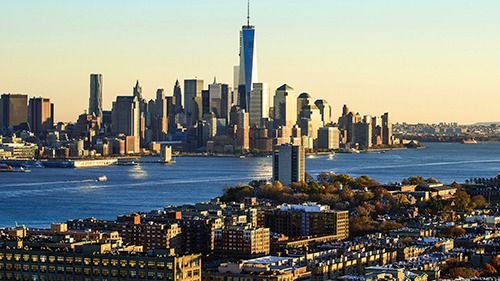
Putting Hoboken on the Map—Should NYC Have to Publicly Acknowledge the Existence of NJ?
Some see Hoboken as the 6th Borough. Others see Hoboken as NYC’s red-headed stepchild.
We see Hoboken as Jon Snow—NYC’s bastard child banished to the hinterlands, yet far more noble than any other player in the realm. We seek no glory, we simply hold our ground and do our duty. After all, we are the Night’s Watch—basically all that stands between Manhattan and the wildlings of New Jersey.Of course NYC shows us no love, and that’s fine. We’ve all grown accustomed to standing at the back of Gotham’s cold shoulder… except for one man.
Stewart Mader wants Hoboken—more specifically the PATH System—back on the map.
Mader is the editor of Gotham & Hudson, “a publication that covers urbanism, development, infrastructure, and transit on the Hudson Waterfront.” Via SubwayNYNJ.com, Mader highlights a “proposal to return New Jersey to the New York City Subway Map and prominently display PATH lines, for a more complete map of rapid transit in the urban core of New York.”
Sure, we all know about the PATH because we live here. But Mader feels that the Port Authority Trans Hudson line doesn’t get the spotlight it deserves—thus fostering a sort of geographic ignorance that deprives our side of the Hudson from commercial, tourist or even long-term residential opportunity.
“Including PATH on the Subway Map in a manner that better reflects its role as New York’s ‘second subway’ improves knowledge of cross-Hudson rapid transit among the largest audience of transit riders in the New York area, supports greater transit use and economic activity on both sides of the Hudson, and acknowledges the economic, cultural, and geographic ties between Manhattan and the area of Hudson County that has been described as New York City’s ‘sixth borough’.”
“Transit maps like the New York City Subway Map are more than just way-finding tools; they become cultural assets that frame how people see the city,” says Mader. “Over 5 million people ride the subway on weekdays, and New York City received over 58 million visitors in 2012, which means the Subway Map is one of the most widely recognized public transit maps in the world.”
See more at SubwayNYNJ.com.


 Previous Article
 Next Article
 Celebrate (Actual) St. Patrick’s Day in Hoboken/Jersey City
  Fridays Are For Frank – “Embraceable You”
  118th Annual Hoboken Memorial Day Parade – WEDNESDAY, MAY 25 @ 6:30 P.M. ON WASHINGTON STREET
  Blogger Tim Urban to Discuss “Mars, Superintelligent AI, and Other Not Normal Things About the Future” — TUESDAY @ STEVENS
  FRIDAYS ARE FOR FRANK: “Love’s Been Good To Me”
  TONIGHT – Hoboken PD Host “National Night Out” to Promote Public Safety
  FRIDAYS ARE FOR FRANK (St. Patrick’s Day Edition): “I’ve Got You Under My Skin” feat. Bono
  VILE GOES VIRAL: Bhalla and DeFusco Share Thoughts on Bias Impact in Hoboken Mayor Campaign — EXCLUSIVE